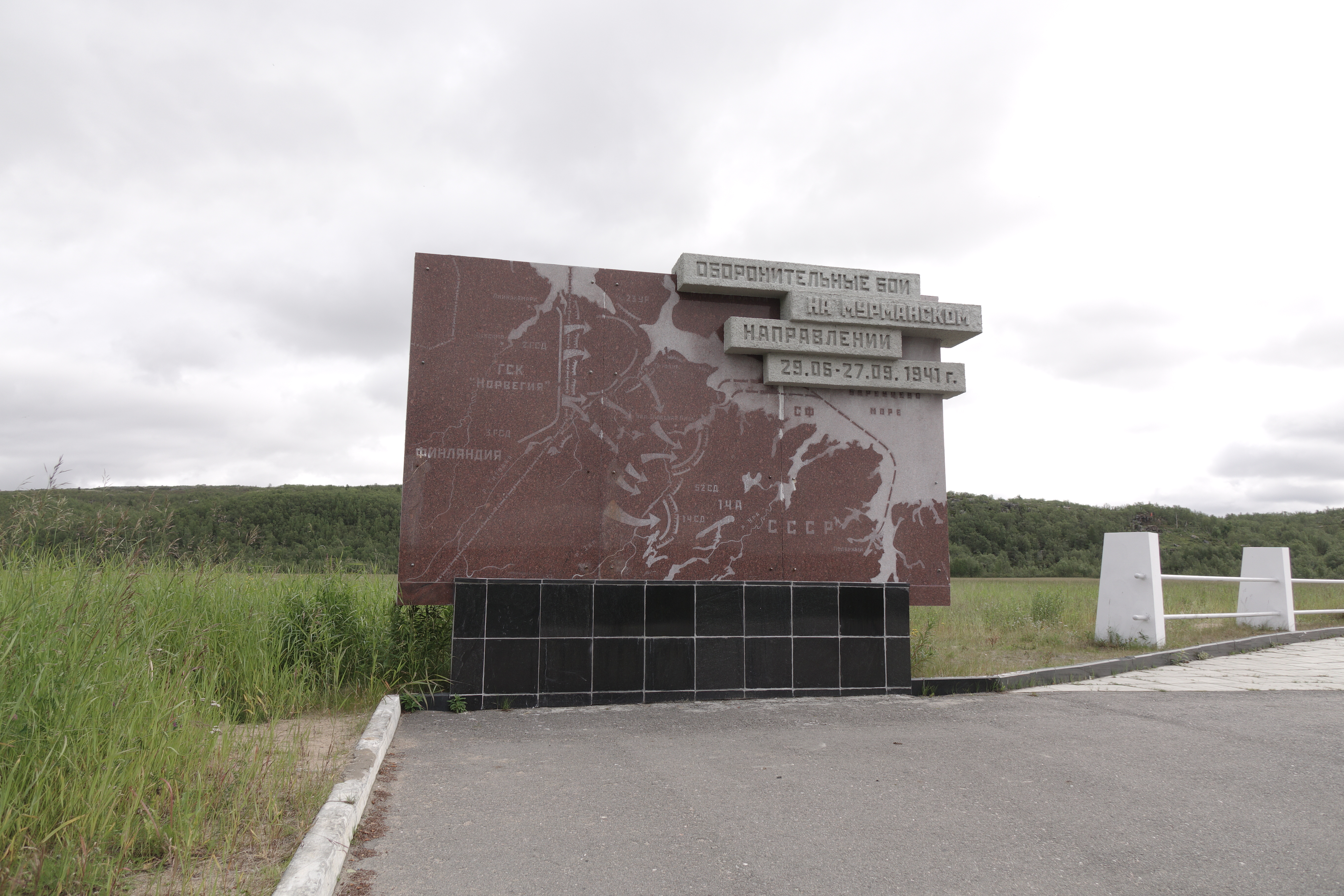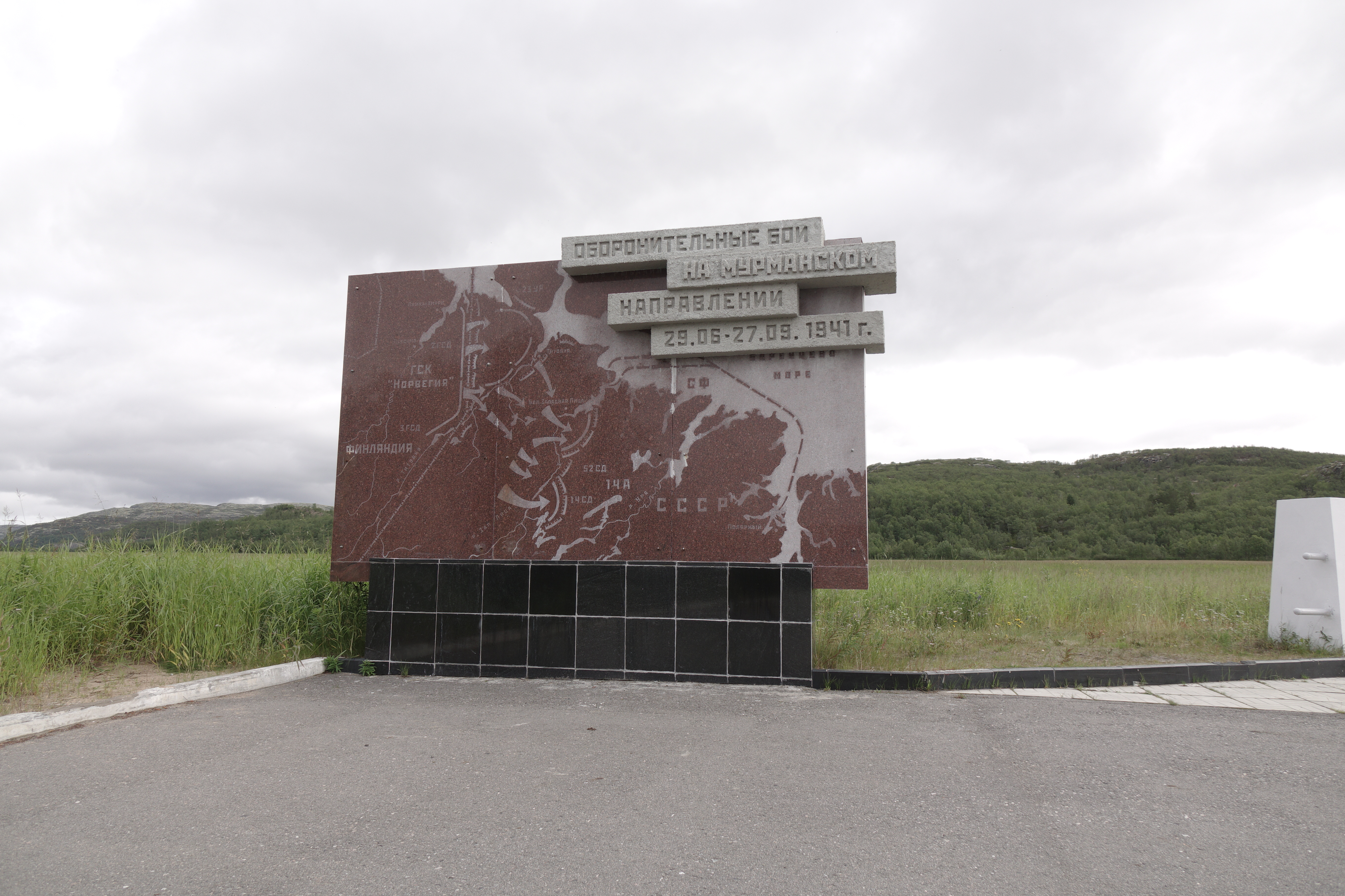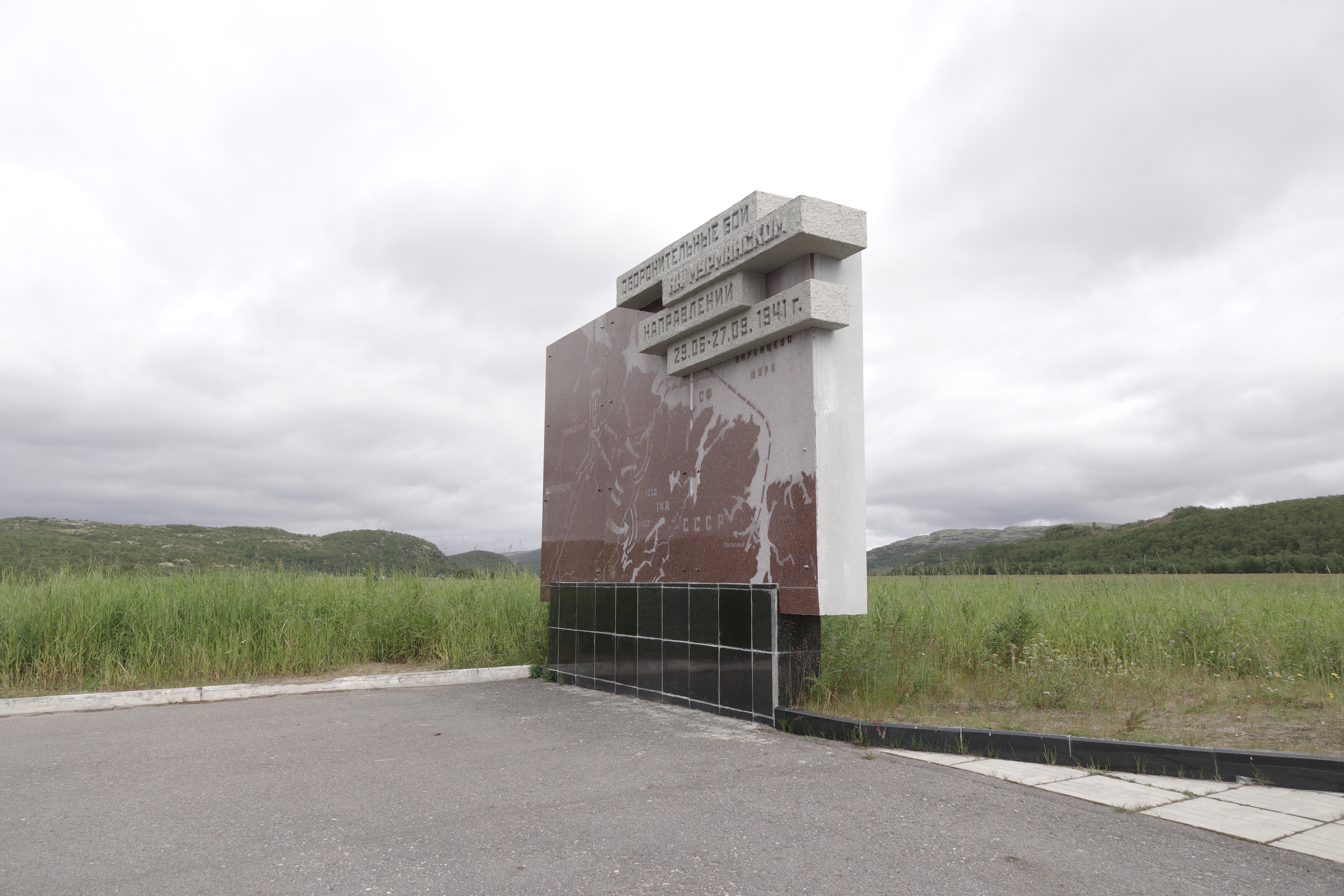
1941 Hostilities Map’ Stand
The map is a graphic presentation of the Soviet troops’ movements during the defensive operation in July to September 1941. The German command had developed plans of combat operations for its Norweg Mountain Army, code-named ‘Renntier’ – to capture the nickel mines in the Petsamo area and prepare for the next operation, code-named ‘Platinfuchs’ – an offensive towards Port Vladimir and Polyarny and ultimately to Murmansk along the Arctic coast. The XXXVI Army Corps of the Wehrmacht was to advance from Rovaniemi to capture Salla and Kandalaksha and then turn north to join the Norweg mountain shooters’ corps and take Murmansk. It was planned to capture the Kola Peninsula in two weeks.
On the Red Army’s side, the 14th Army affiliated to the Northern Fleet was covering the Murmansk, Kandalaksha and Ukhta directions. The Northern Fleet was providing defence from an invasion from the sea and protecting the northern maritime communications. To defend the transport ships in the White sea, eastern Barents Sea and on the Northern Sea Route a White Sea Flotilla was established in August 1941; in the war years it escorted more than 2500 transports. The Northern Fleet and its land units commanded by Lieutenant-General M.M. Popov numbered a total 420 thousand officers and men, 7.8 thousand cannons and mortars, 1.8 thousand warplanes, 32 warships and 15 submarines.