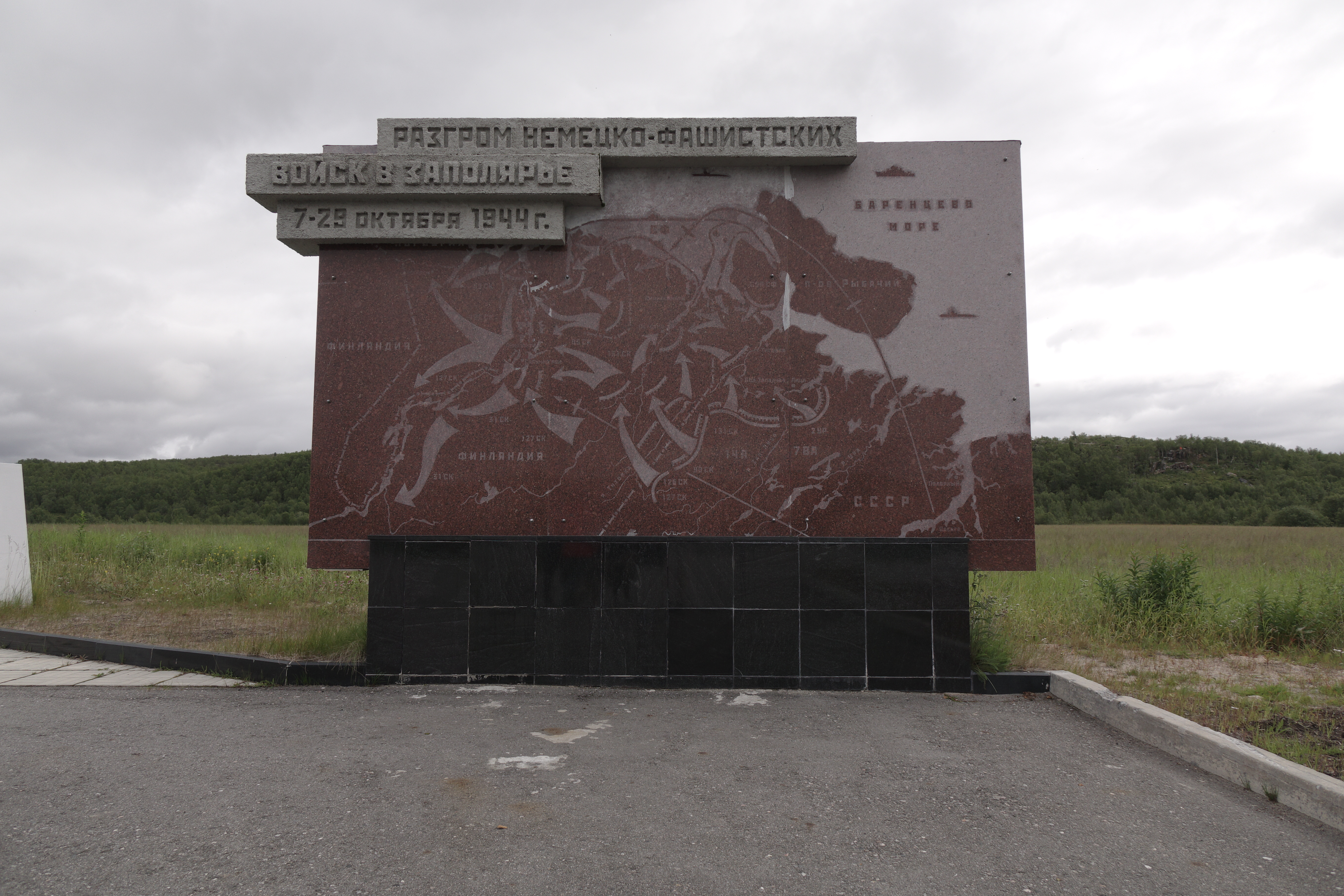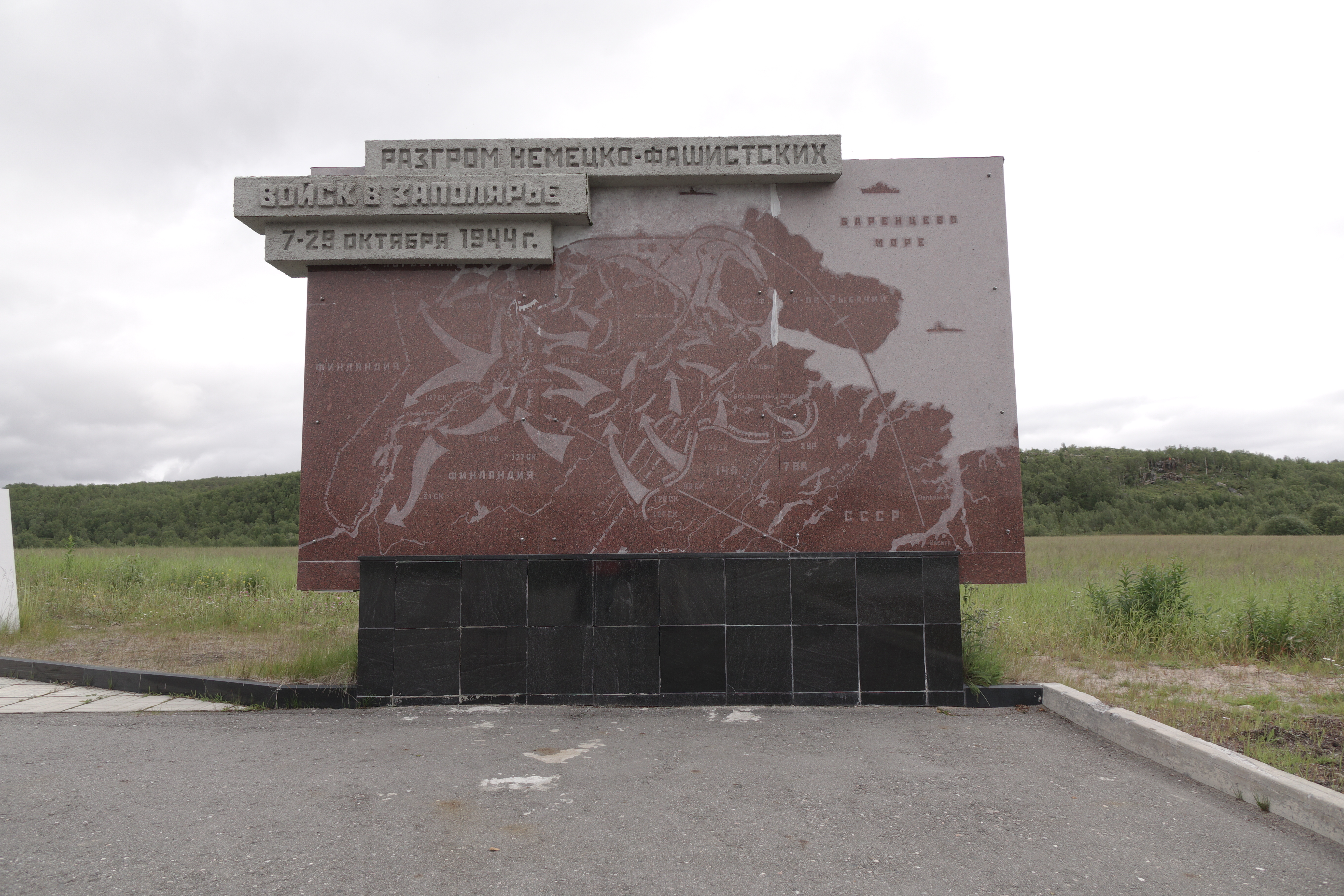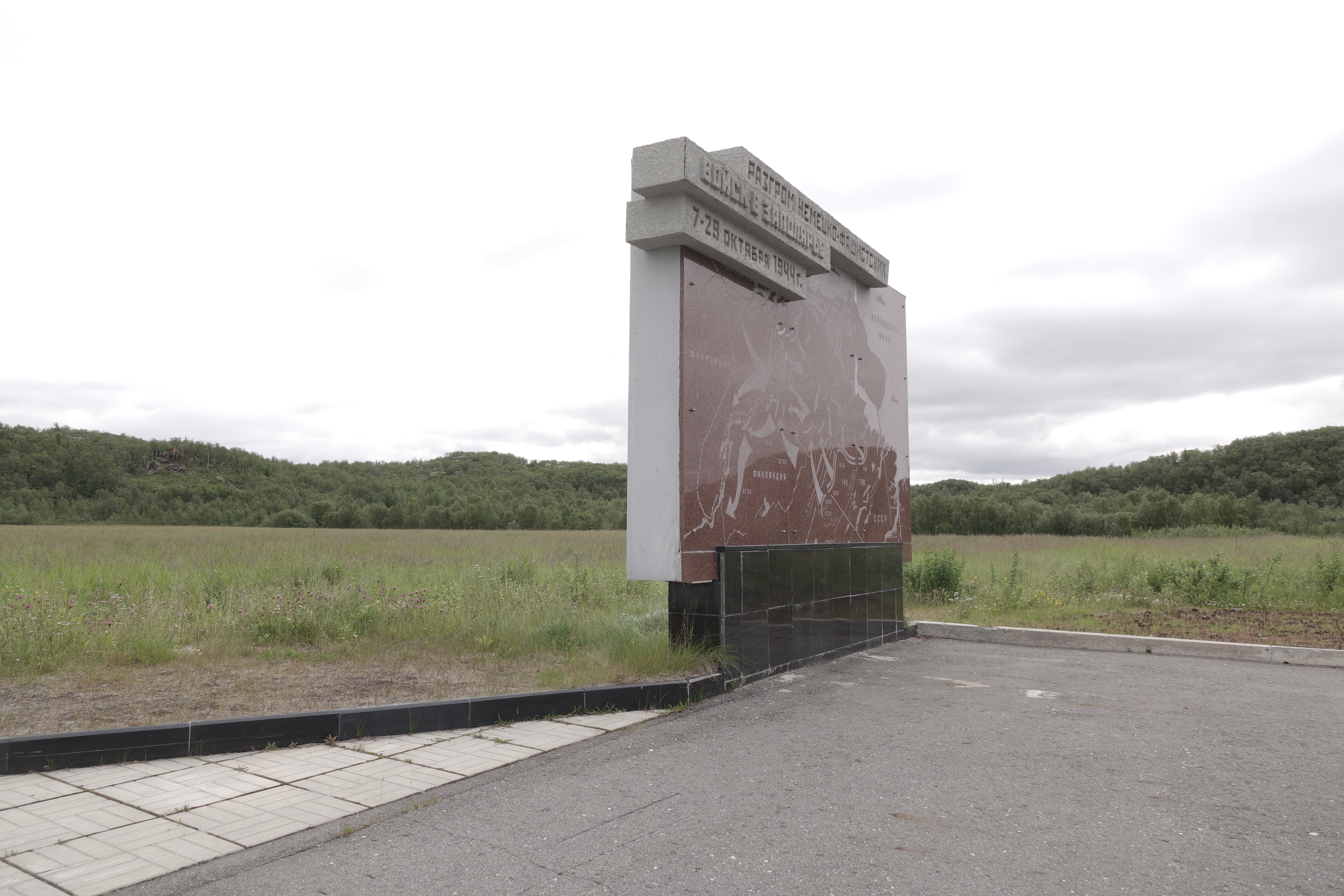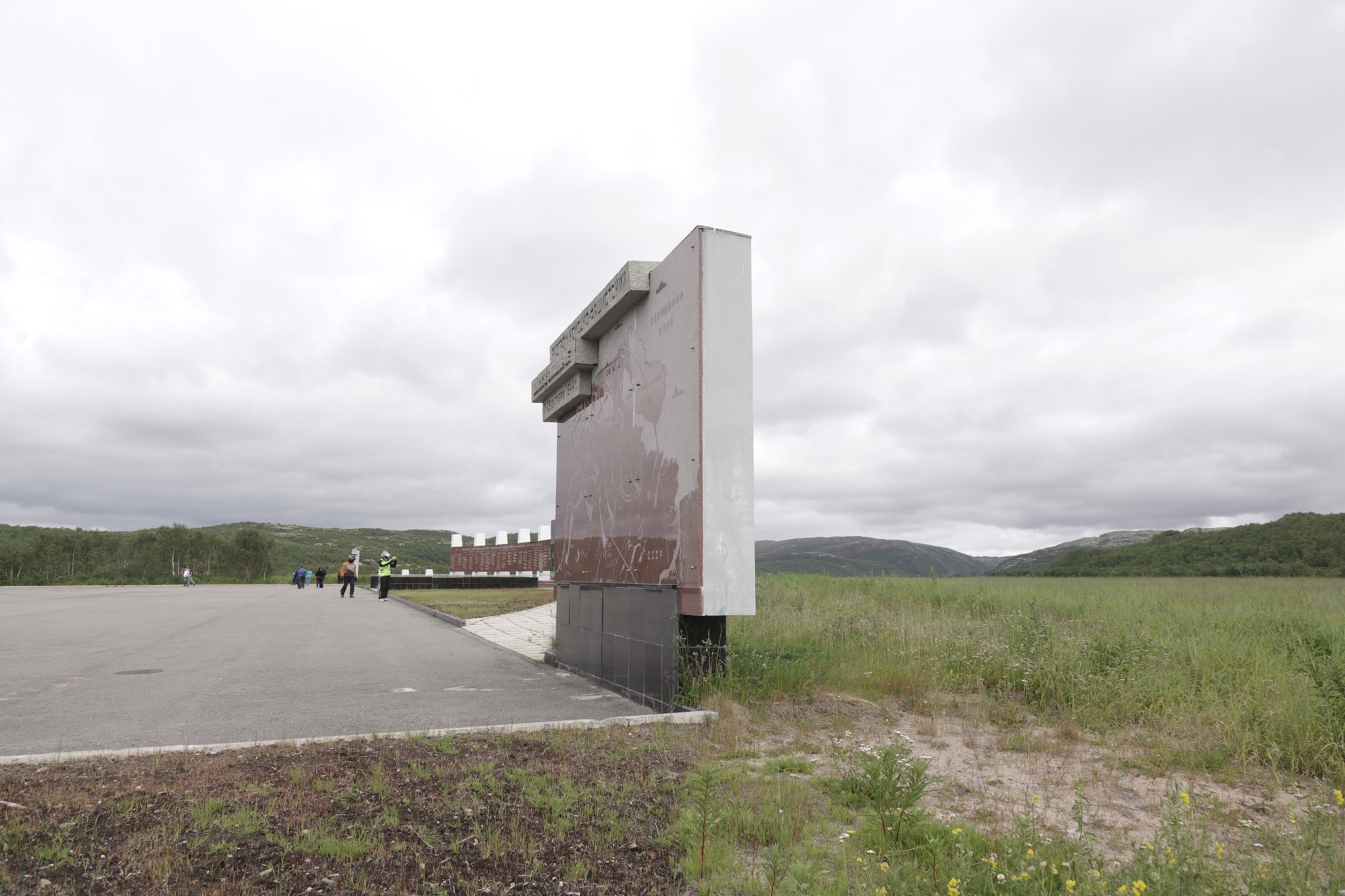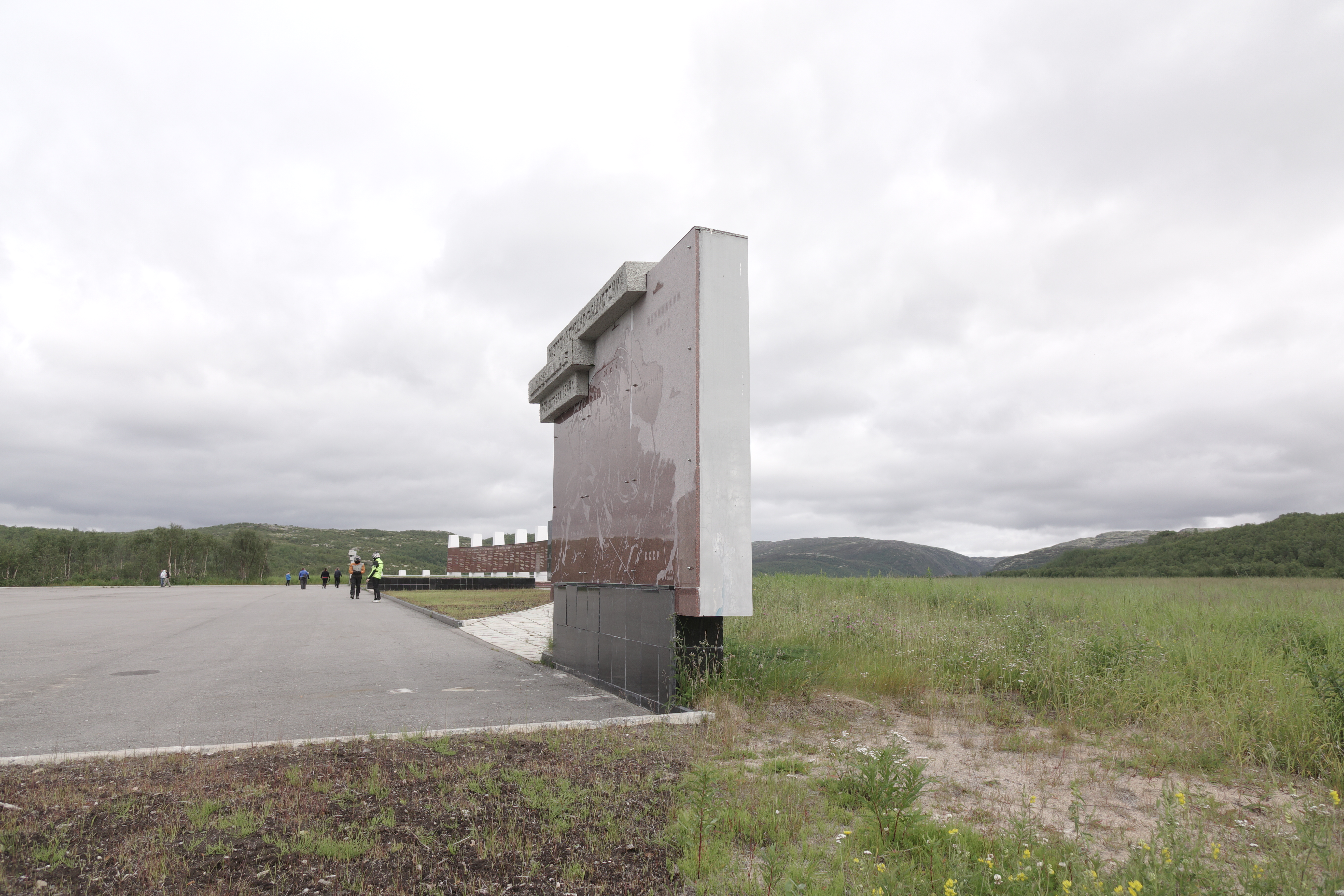

1944 Hostilities Map’ Stand
The map is a graphic presentation of the Soviet troops’ movements during the Petsamo-Kirkenes Offensive Operation. The Soviet Command’s plan was as follows: to surround the main enemy forces by enveloping them from the south and striking grom the north, capture Petsamo and exploit towards the Soviet-Norwegian border. An agreement of 16.05.1944 concluded by the USSR, USA and UK with then London-based Government of Norway permitted Soviet troops’ entry into Norway and granted the Soviet command all powers of government in the hostilities area.